The same questions travel well.
How do people arrive? Where does the water go? What makes someone stay longer? Which buildings belong to the place? What creates scarcity, convenience, friction or value?
Roads, docks, topography, public space, architecture, density and hospitality shape the experience of real estate long before a listing sheet does.
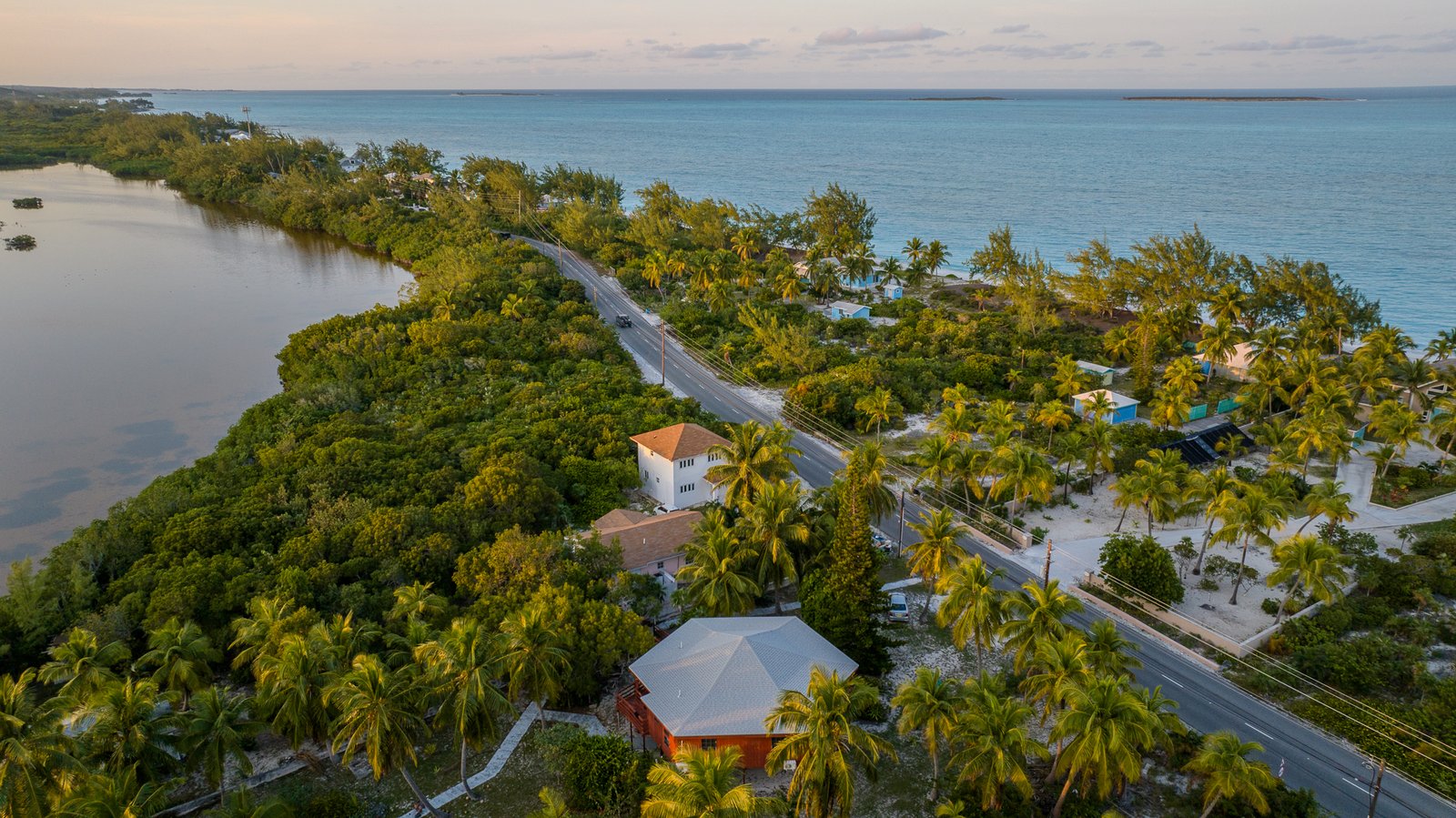
Coastlines make the infrastructure visible.
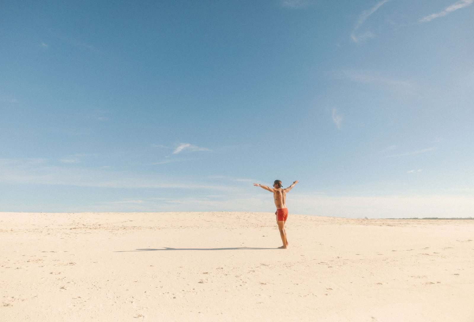
Photography from Puerto Rico, the Bahamas, Tulum, Saint Martin and Barbados documents the relationship between land, water, roads, development, hospitality and everyday island life.
This is not a travel blog. It is a visual record of places worth studying — and the details that make them work.
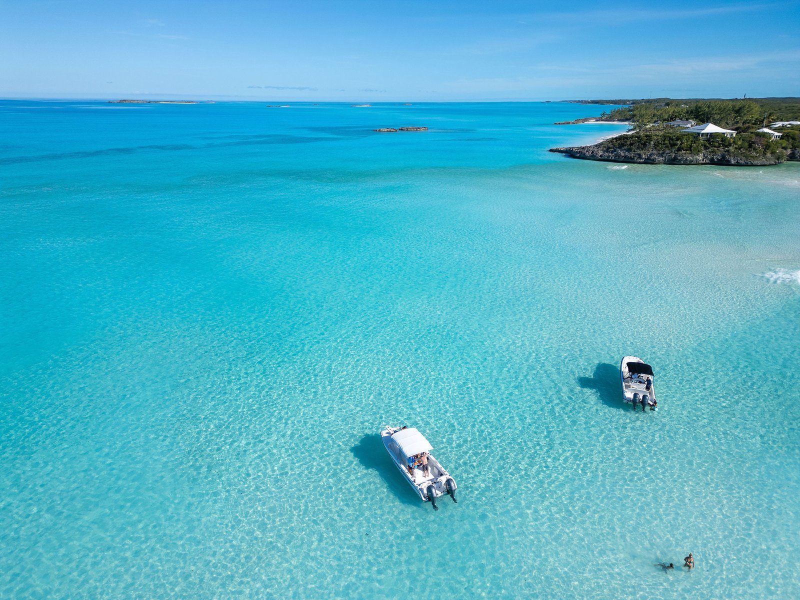
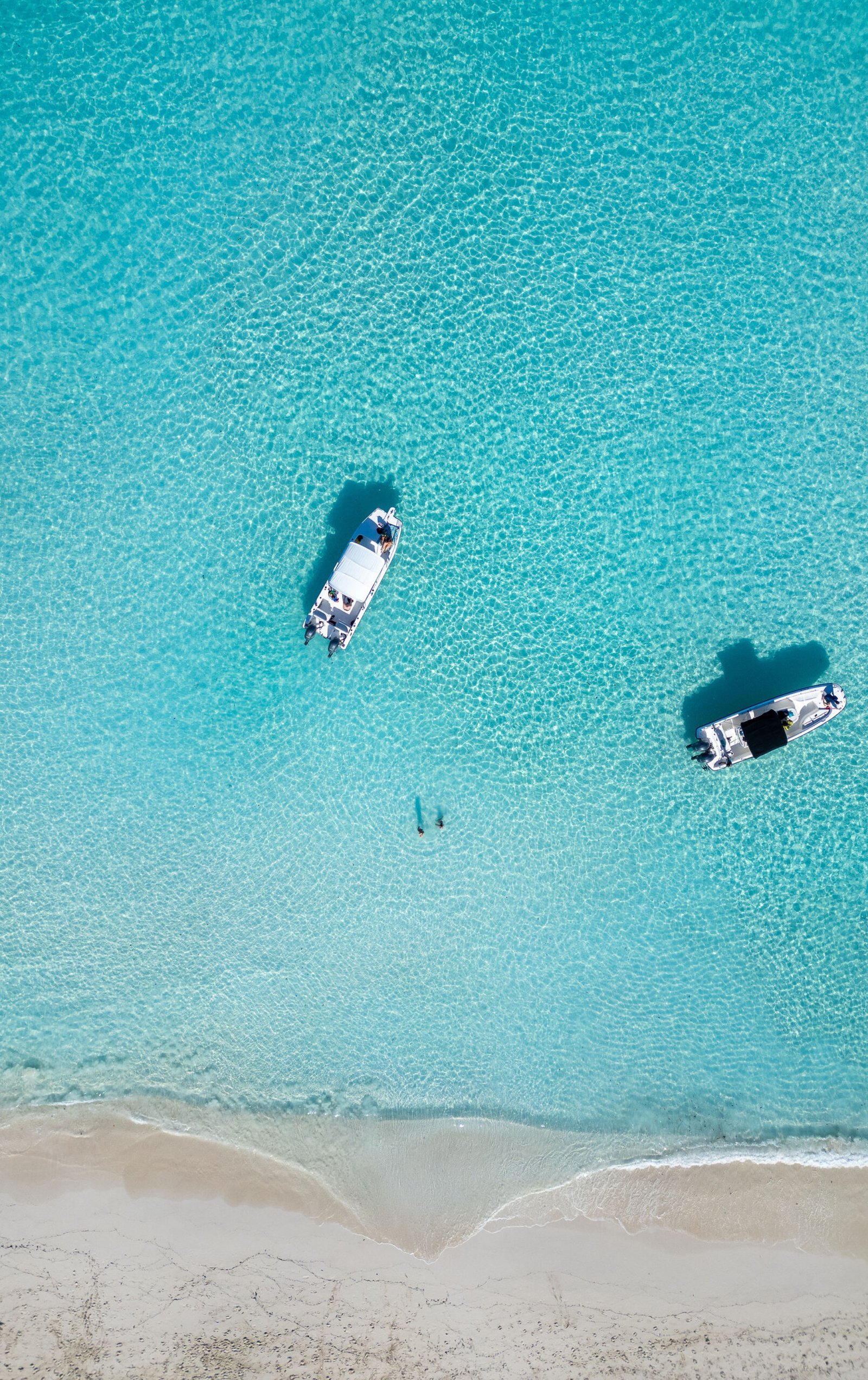
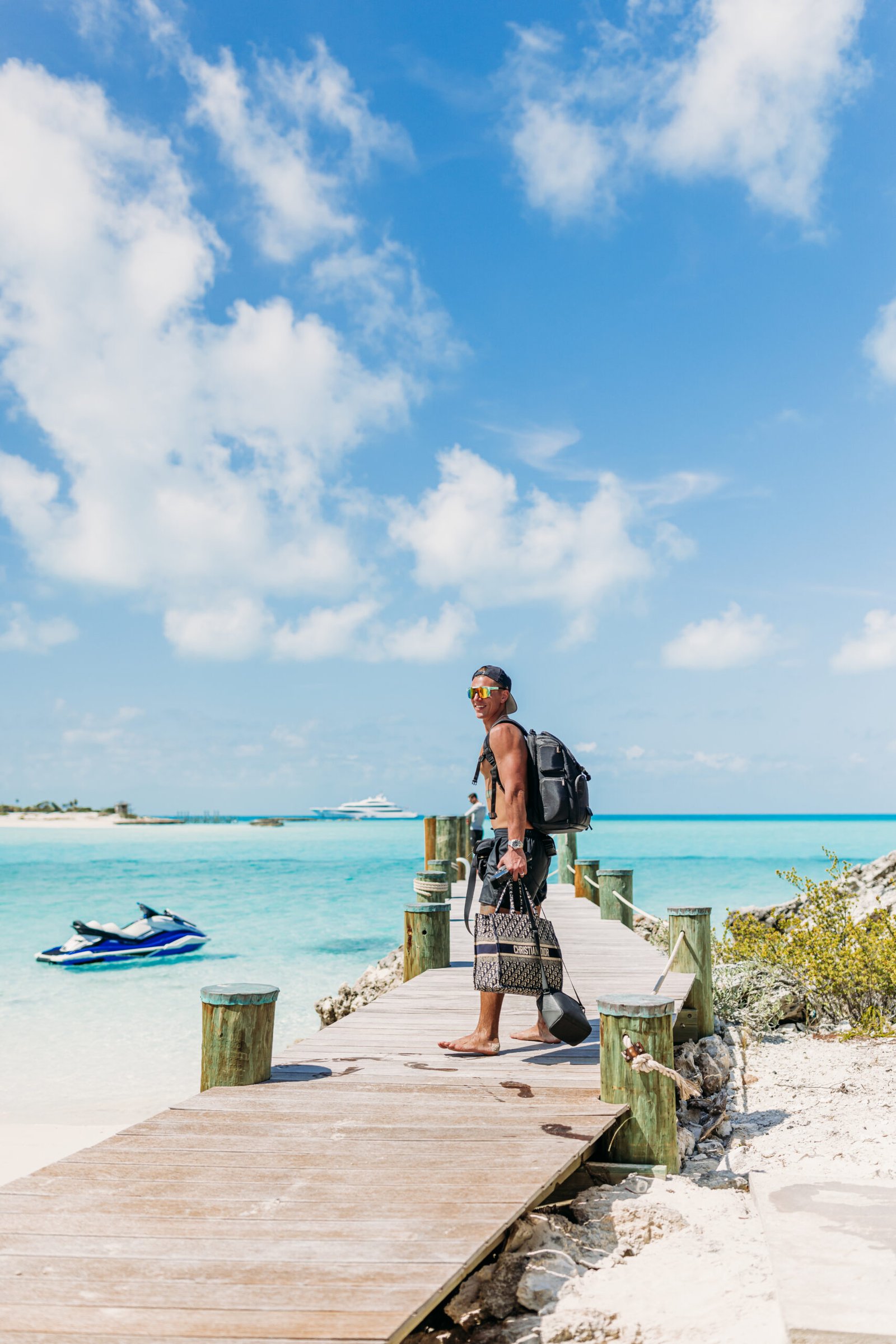
When the road becomes water, the real-estate equation changes.
Docks, channels, depth, exposure, privacy, logistics and distance all become part of the asset.
Island property makes one principle unusually obvious: context can matter as much as the building itself.
Different landscape. Same discipline.
Golf communities, lakefront property, Main Street redevelopment, mountain towns and rural land reward the same habit — understand how the place works before deciding what the property can become.
Original work, not stock imagery.
Photography across MatthewDowdy.com is drawn primarily from original work by Matthew and Michelle Dowdy. The goal is to show real places with enough context to reveal more than the postcard view.
Unless otherwise noted, original photography is © Matthew Dowdy and/or Michelle Dowdy.
Know a place worth paying attention to?
Send the location, property or project. Interesting places usually reveal themselves through the details.